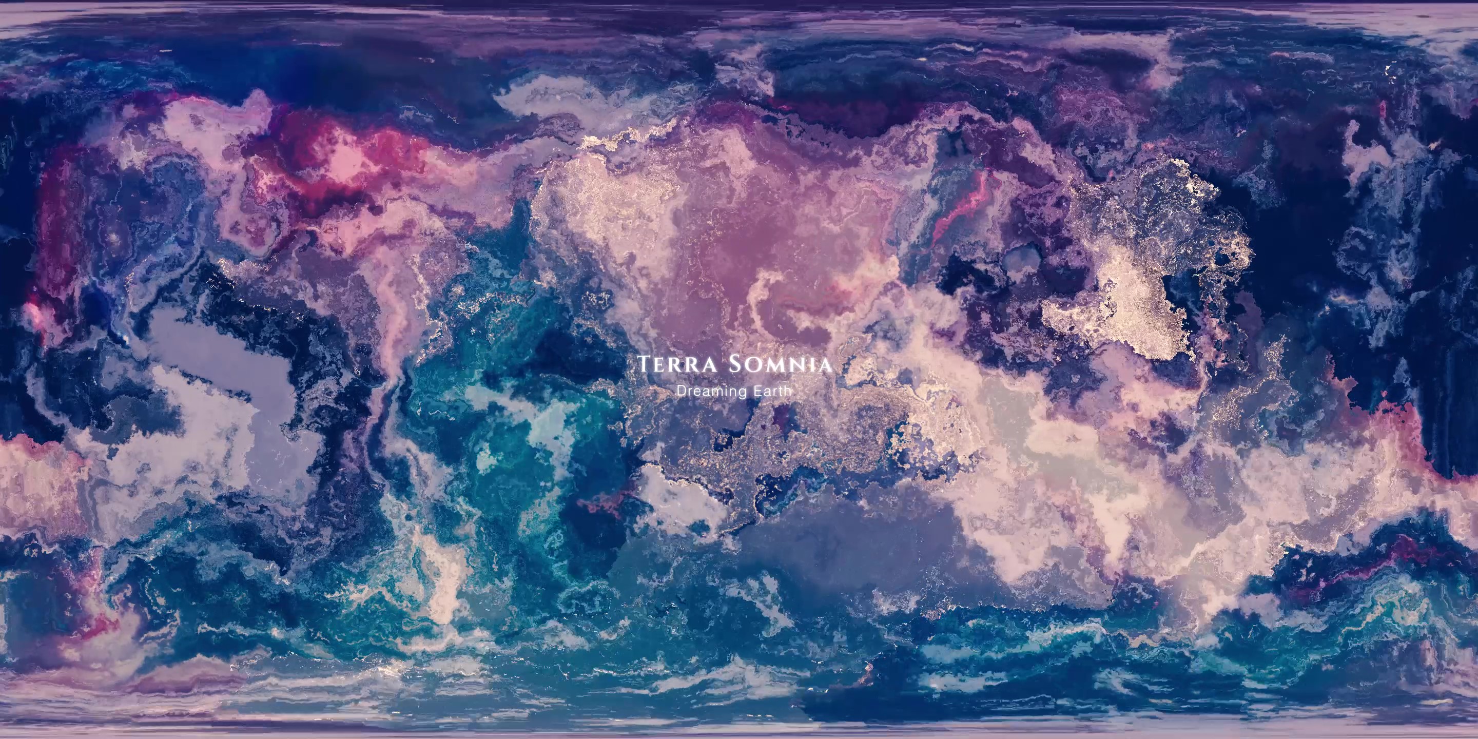
Terra Somnia: Dreaming Earth
360° VR video — drag to explore, or watch with a phone and Google Cardboard. Best at 1440p.
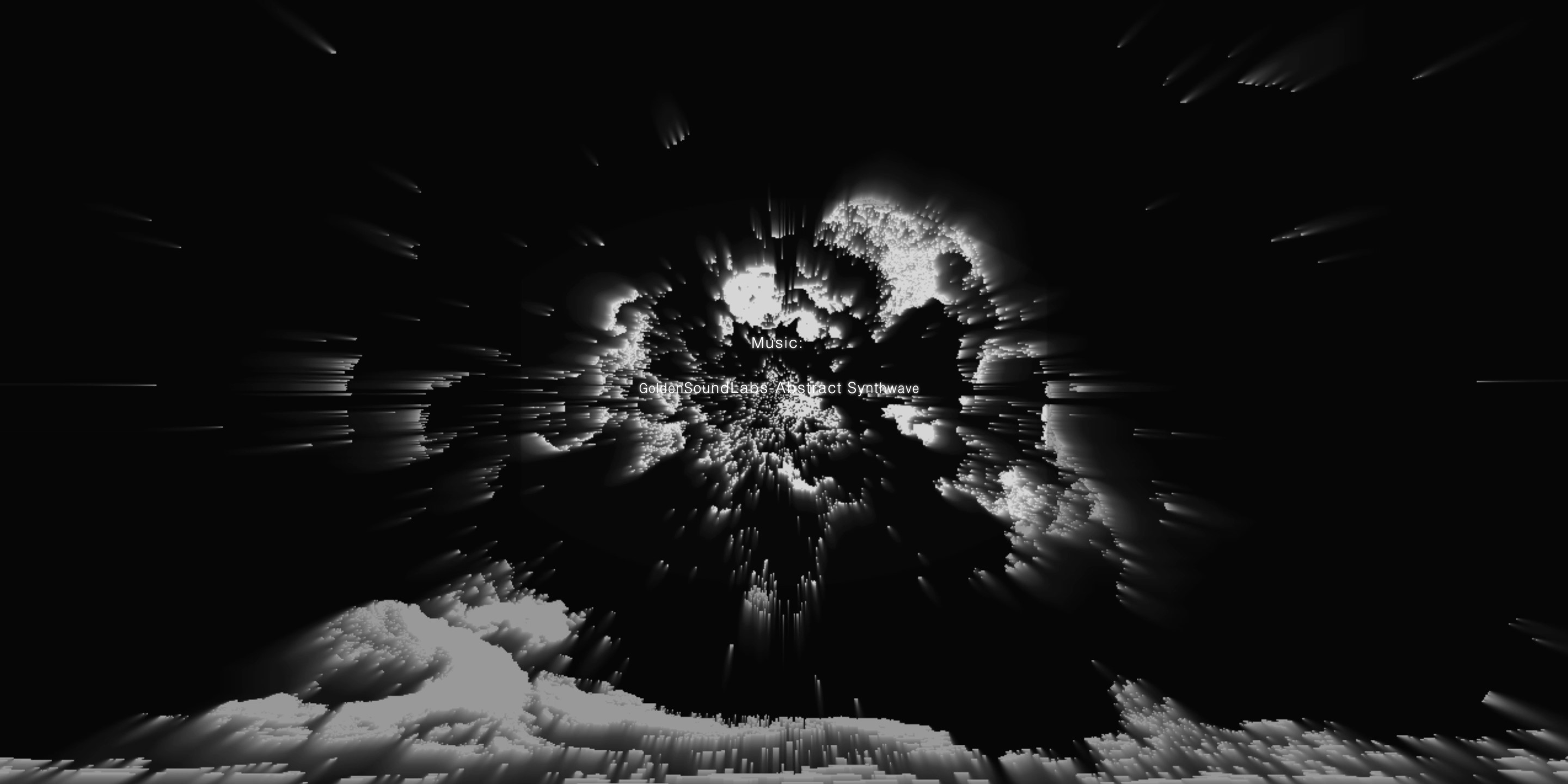
A VR animation built from real-world data — a dreamscape narrated from the Earth's perspective. The work asks: what would Earth perceive, if it dreamed? Produced as an MSc project at the University of Edinburgh (2023).
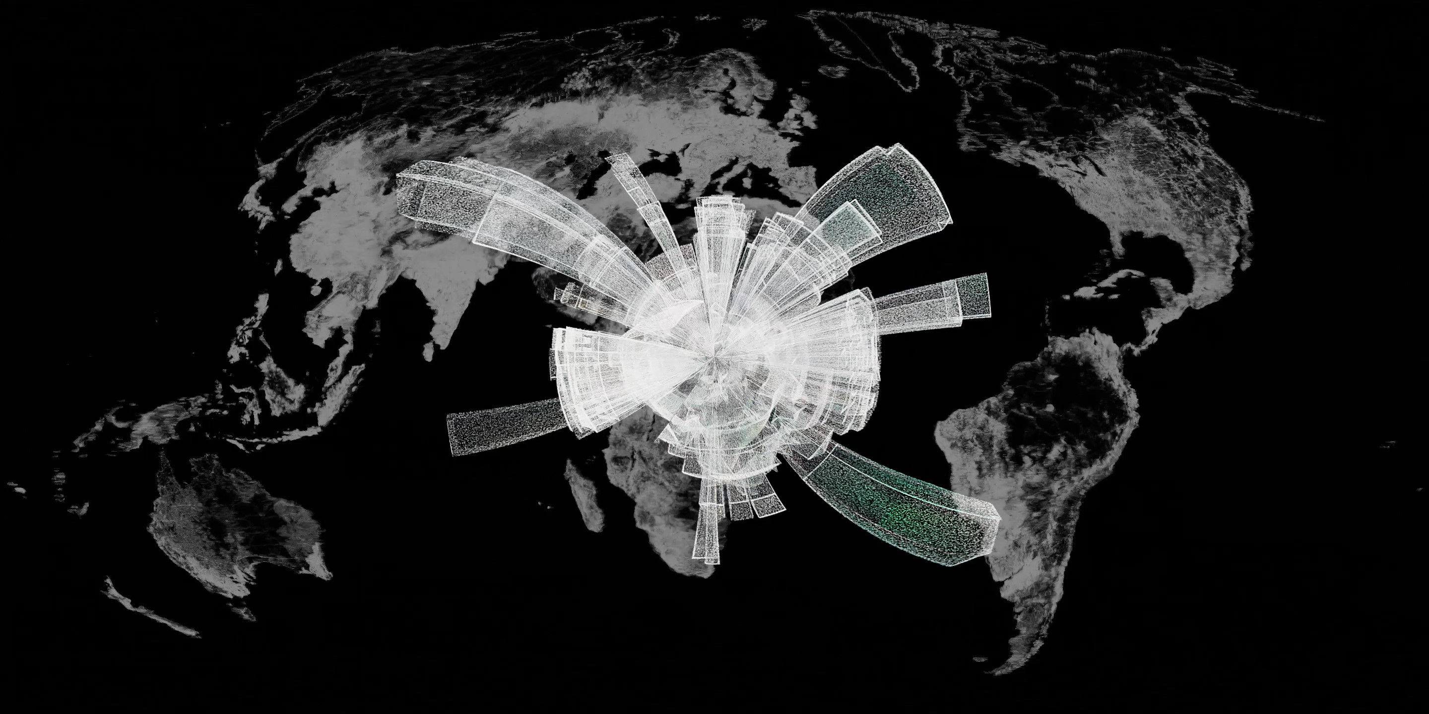
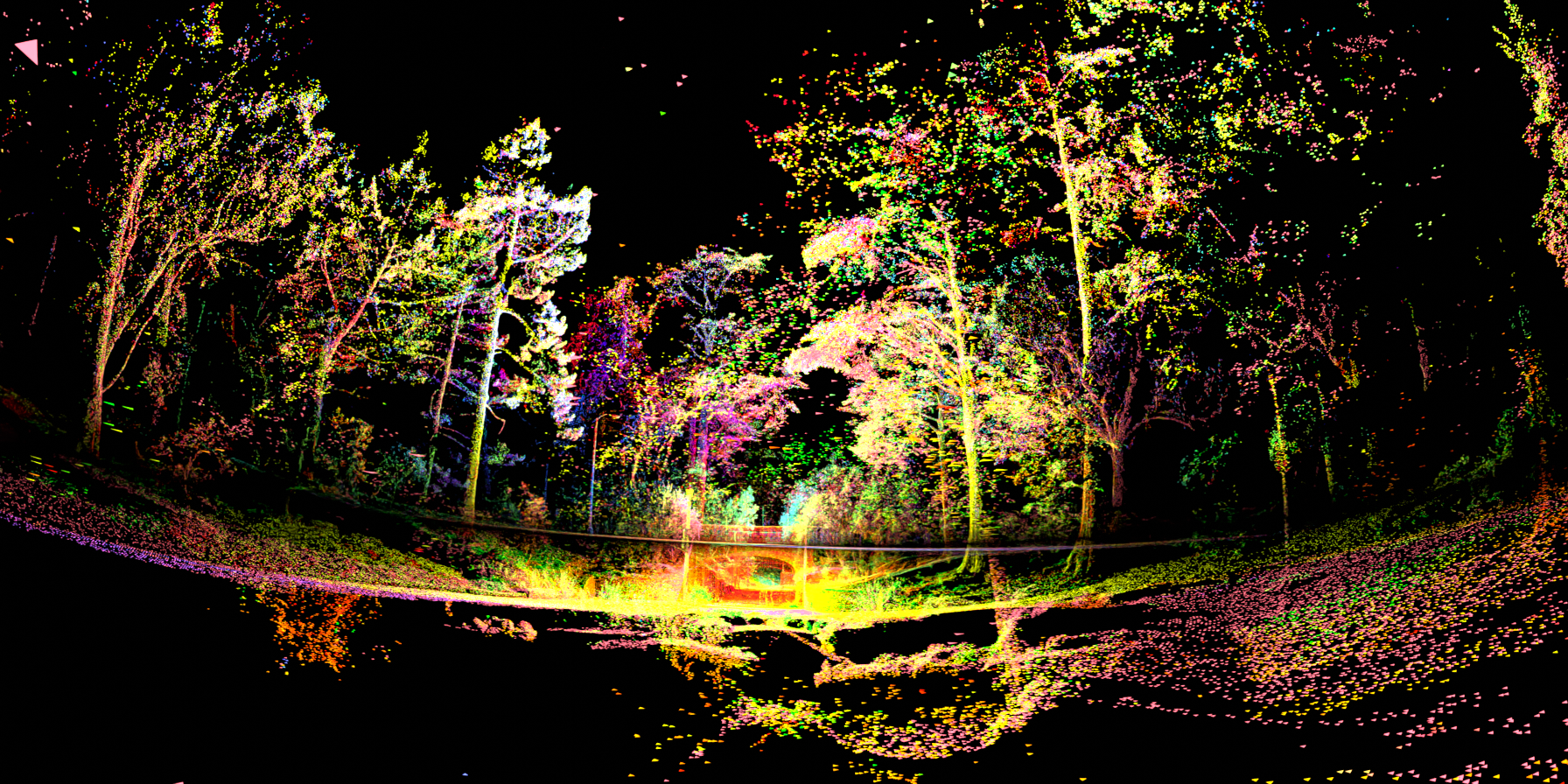
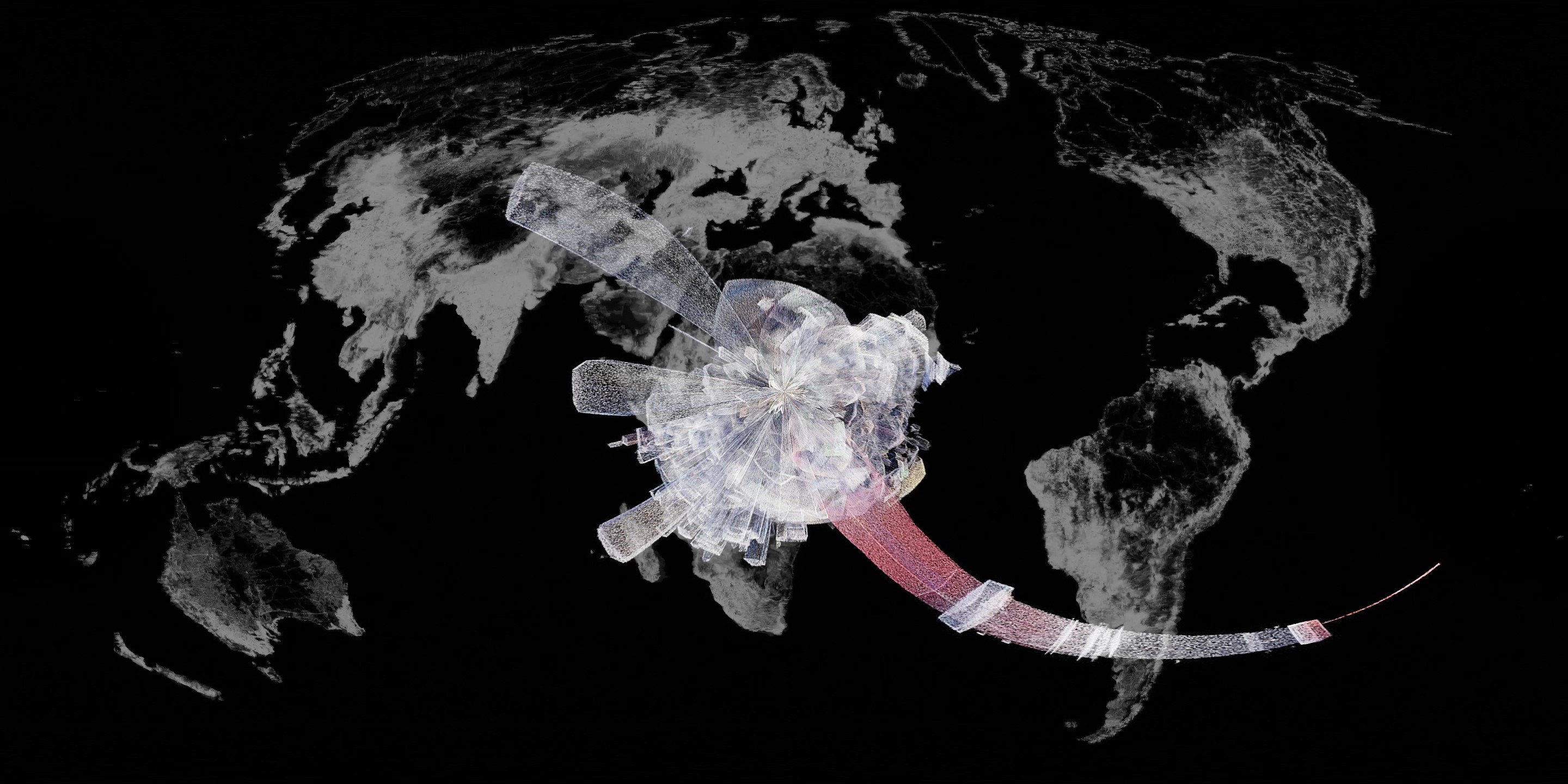
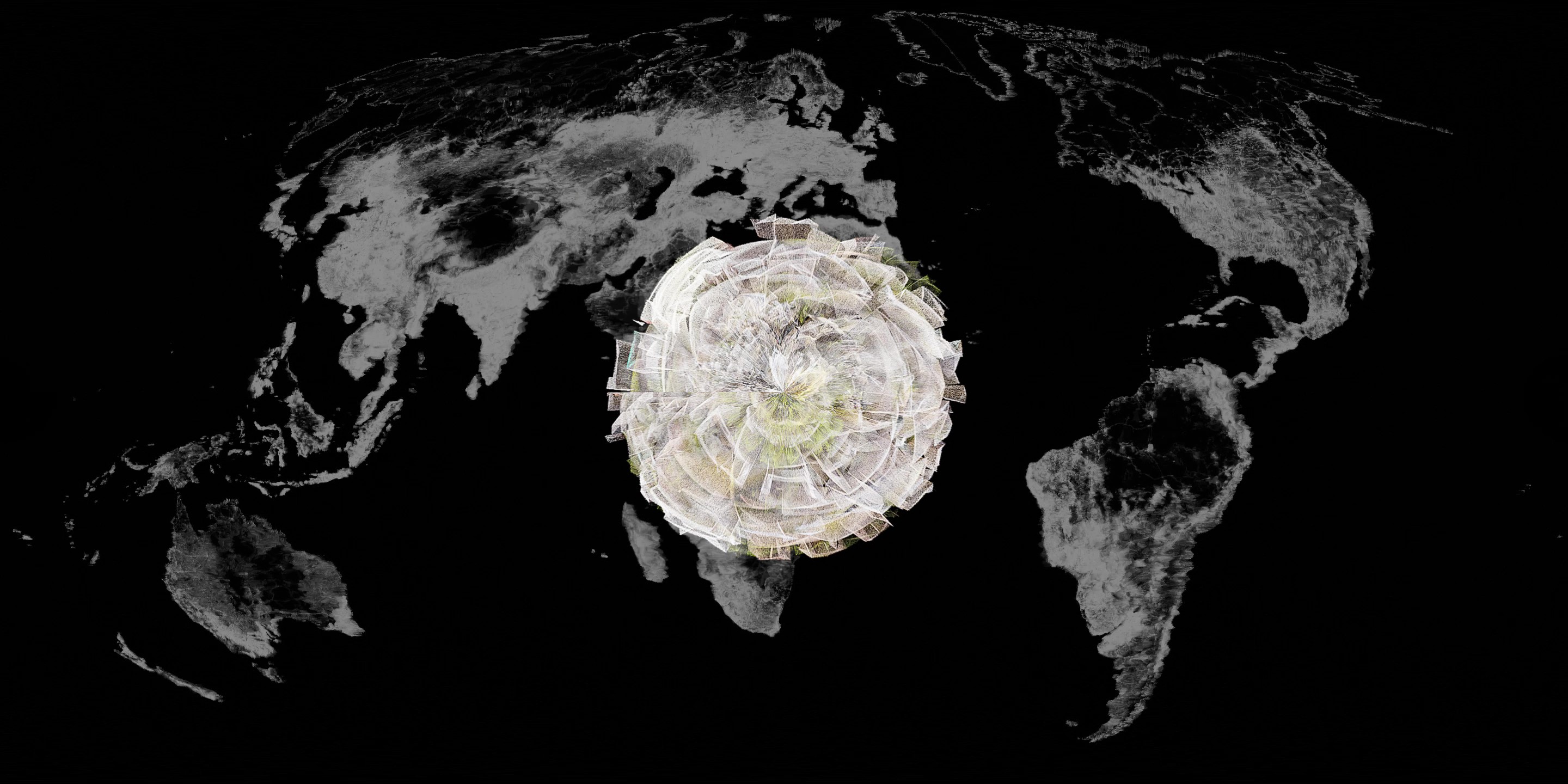
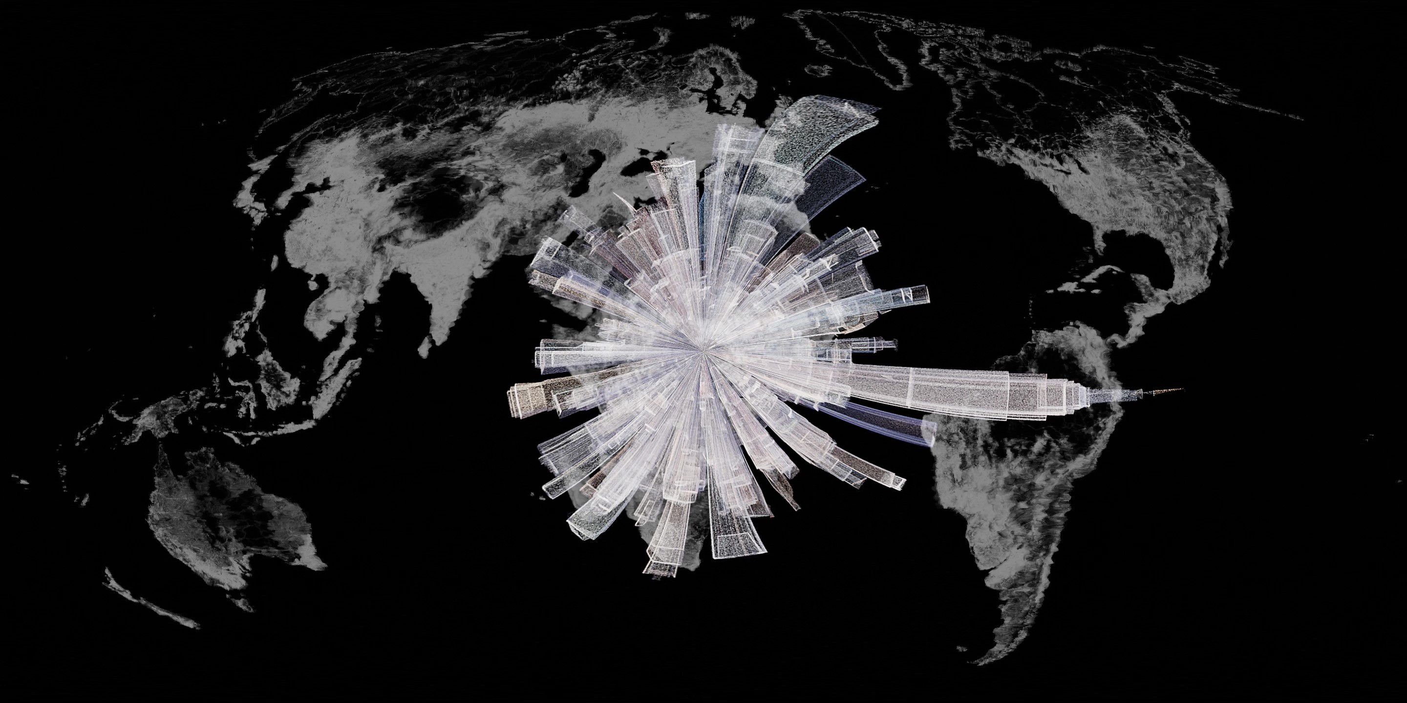
The piece moves through six chapters: the gravity of formation, volcanic land-making, the growth of forests, the spread of biomass, the shadow of cities, and finally a Plato's Cave moment — the traces humans leave, projected back as the Earth's own memory.
Structure
Six stages — chapter intent, sourced materials, and thumbnail references.
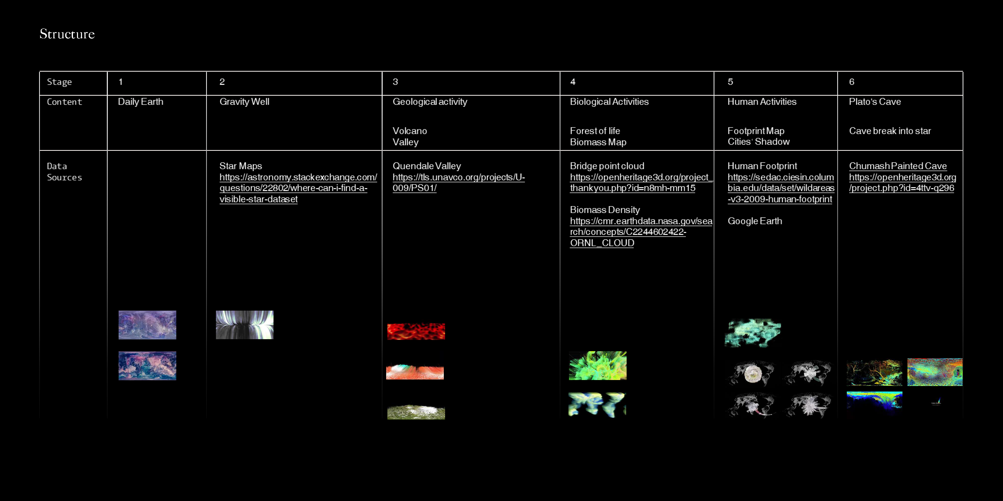
Film stills
Data & Materials
Each chapter was built from sourced geographic and ecological datasets, translated into point clouds and generative sequences:
- Geological activity — Quendale Valley LiDAR scan (Unavco), particle simulation in TouchDesigner
- Forest of Life — Bridge point cloud (Open Heritage 3D), animated growth via Geometry Nodes in Blender
- Biomass & Human Footprint — NASA Earth data, displaced and distorted in TouchDesigner
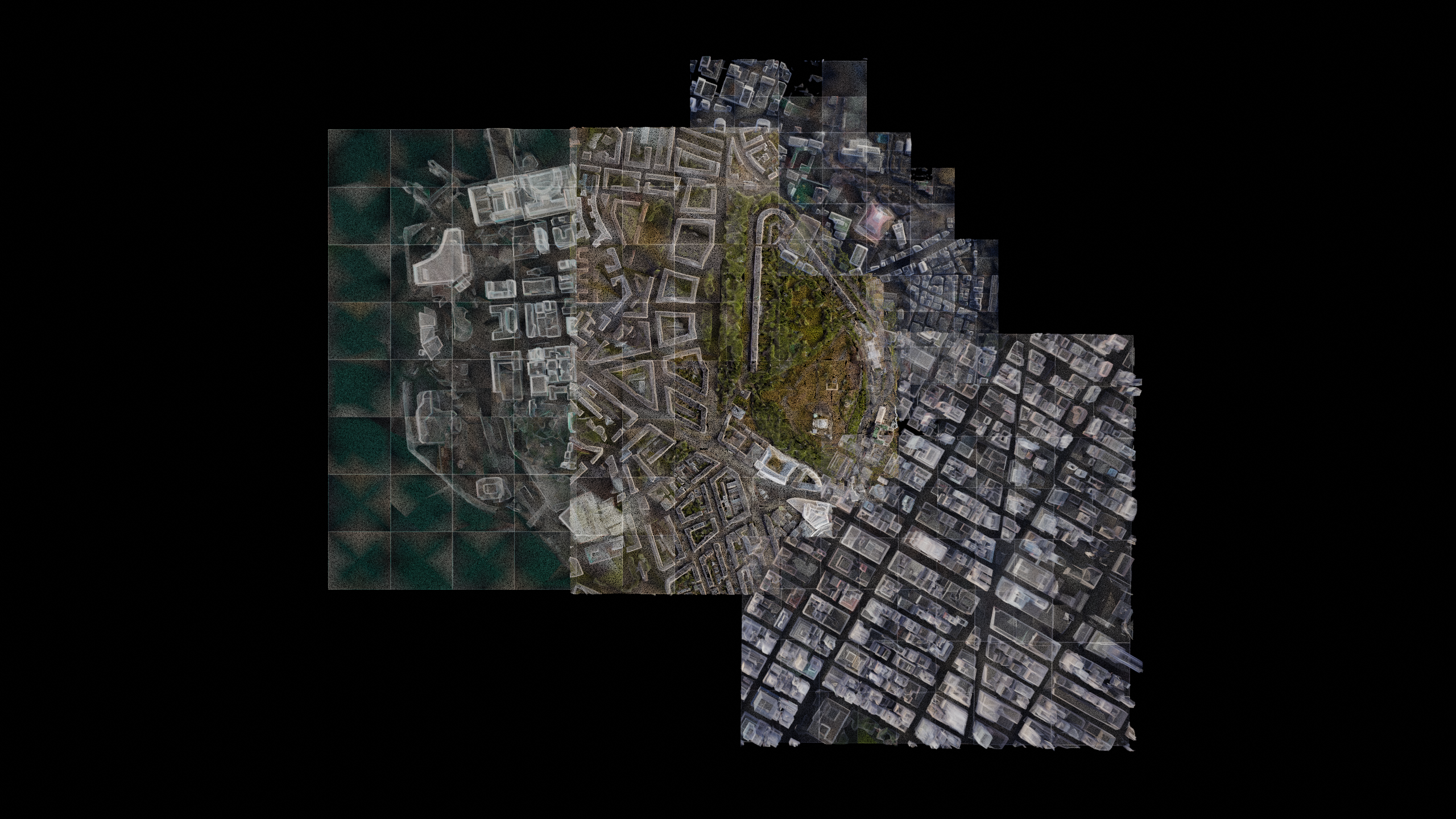
- Cities — Google Earth recordings of Edinburgh, Hong Kong, Tokyo, and New York, converted to point clouds in Blender
Approach
Point cloud data was piped through TouchDesigner as image data — treating position and colour as pixel values — allowing particle behaviour (diffusion, distortion, trailing) to be driven by image manipulation. Panoramic renders used cube projection; feedback loops created the trailing particle effects seen in the forest and cave sequences.
Sound sources included recordings from NASA's Voyager Golden Record, layered with generative music to match the six-chapter rhythm.
Tech
TouchDesigner · Blender · After Effects · Open Heritage 3D · NASA Earth Data · Google Earth